Responsible by design
Responsible is who we are. Engineering is what we do.
Our “why” is for a better tomorrow.
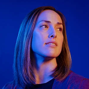
Kelly Besser — Engineering Tomorrow
Stonebrooke Engineering Project Manager

Our way to a more responsible tomorrow.
In our 23-plus years, we’ve seen most everything. And we’ve done most everything. And, as experienced engineers, we know “most everything” is what you say because there’s always a new problem to solve and an innovative solution waiting to be discovered.


Out of Office
Ragnar Road Relay
Our team ran over 200 miles from St. Paul to Duluth in this year’s Ragnar Road relay, August 8–9. We had 12 runners split between two vans, representing leadership, project management, young professionals, and interns. It was brutally hot, but the team pushed through and had a fantastic time.
Thank you to our guest runners and everyone else who made it happen!
